Metadata import, model draft generation, manual correction, QA review, and export.
Annotation Platform
UAIV Semi-Automated Annotation Platform

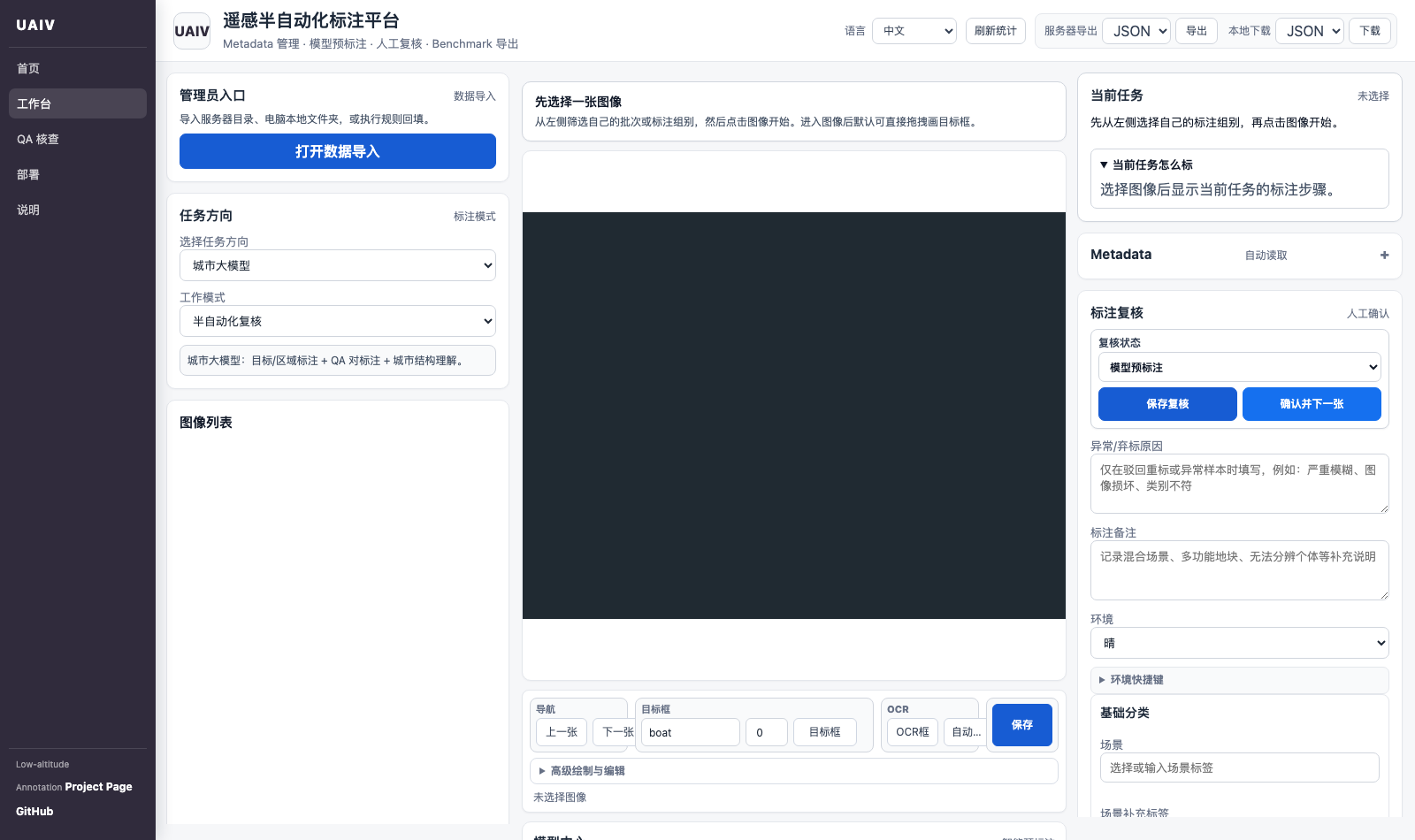
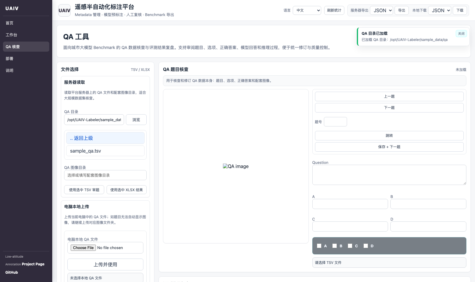
UAIV-Labeler is a semi-automated annotation platform for low-altitude remote sensing data production. It organizes server-side image indexing, metadata management, model pre-labeling, human review, risk queues, QA inspection, and benchmark export in one workbench.
The platform is designed for UAIV-style low-altitude urban intelligence workflows. It supports task-oriented annotation for urban understanding, ecology, and image restoration, while keeping generated drafts traceable before human confirmation.
Scene understanding, object detection, segmentation, OCR, QA, and restoration labeling.
Risk sample queues, review status tracking, sampling checklists, and evaluation result review.
JSON, COCO, VOC, YOLO, YOLO-OBB, DOTA, GeoJSON, mask PNG, and QA files.
Platform scope
UAIV-Labeler is not only a box-drawing tool. It is a metadata-first data production workflow for low-altitude remote sensing benchmarks, combining configurable model assistance with human-in-the-loop verification and reusable export formats.